Valletta may be compact, but nonetheless, it sits straight on the doorstep of some of Malta’s most refreshing out-of-city escapes.
Specifically, you can wander past honey-coloured fortifications or you can hop on a quick bus, and then suddenly find yourself rounding a bend where the land drops into blue water and seabirds cut across the sky.
For those of you who enjoy destinations that offer both culture and nature in one easy pairing, the capital makes an ideal starting point!
The trails around here tend to be gentle and steady, and totally filled up with scenery that sneaks up on you.
Rather than steep climbs or harsh terrain, you get rolling paths, historic stonework, rugged limestone edges, and sea views that seem to stretch into forever.
The five walks below run from a 40-minute woodland loop to a half-day on Marfa Ridge, and you can reach every one by bus or ferry.
For walking the city itself, start with our guide to hiking in Valletta.
- 1. Buskett Woodland Circuit: Shady Woodland Escape
- 2. Sliema to St Julian's Coastal Walk: Seafront Stroll
- 3. Xemxija Heritage Trail: History in the Hills
- 4. Marsaskala to St Thomas Bay Coastal Path: Quiet Coast
- 5. Marfa Ridge Loop: Wild Northern Ridge
- When to Hike Near Valletta
- What to Bring
- FAQs About Hikes Near Valletta
- Out of the City, Into the Landscape
- Where to Next?
- Where This Information Comes From
- Planning Your Malta Walking Trip?
| Hike | Difficulty | Distance | Average time | Car-free |
|---|---|---|---|---|
| Buskett Woodland Circuit | Easy | 1.4 km (0.9 mi) | About 40 min | Yes |
| Sliema to St Julian’s Coastal Walk | Easy | About 5 km (3.1 mi) | 1–1.5 h | Yes |
| Xemxija Heritage Trail | Easy | About 4 km (2.5 mi) | About 2 h | Yes |
| Marsaskala to St Thomas Bay | Easy | 5–6 km (3.1–3.7 mi) | 1.5–2 h | Yes |
| Marfa Ridge Loop | Moderate | 7–8 km (4.3–5 mi) | 2–3 h | Yes |
1. Buskett Woodland Circuit: Shady Woodland Escape
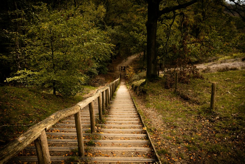
If a shady escape among trees sounds like your idea of bliss, head to the Buskett Woodland Circuit.
This loop winds through one of Malta’s only woodlands, past a seasonal stream and old farmhouses, and it’s a short hop from the ancient cart-ruts at Misraħ Għar il-Kbir.
Ideal for families or anyone craving a tranquil break from coastal hikes, you’ll find picnic spots, birdlife galore, and that refreshing “lost in nature” feeling, just a bus ride from Valletta.
The route follows Ambjent Malta’s Buskett walking path, which passes the grotto, a pond and the narrow-leaved ash trees along the valley floor.
Nearby: the Dingli Cliffs are a short way further on, and they’re one of our best hikes in Malta if you want to add some sea views.
Hiking Over 50 callout: “Gentle loops like Buskett are a great way back into walking. Here’s how to start hiking over 50.”
| Buskett Woodland Circuit | |
|---|---|
| Difficulty | Easy |
| Average time | About 40 minutes, longer if you wander |
| Distance | 1.4 km (0.9 miles) |
| Route type | Loop |
| Start and end | Buskett Education Centre |
| Elevation gain | Minimal |
| Getting there from Valletta | Bus to Buskett; plan it on the Malta Public Transport journey planner |
| Best time and nearest base | Hot afternoons for the shade, or spring when the stream runs; Rabat |
| Trail note | Beaten earth paths, uneven in places, under holm oak, ash and cypress |
| Don’t miss | The view of Verdala Palace from the cypress-lined path |
2. Sliema to St Julian’s Coastal Walk: Seafront Stroll
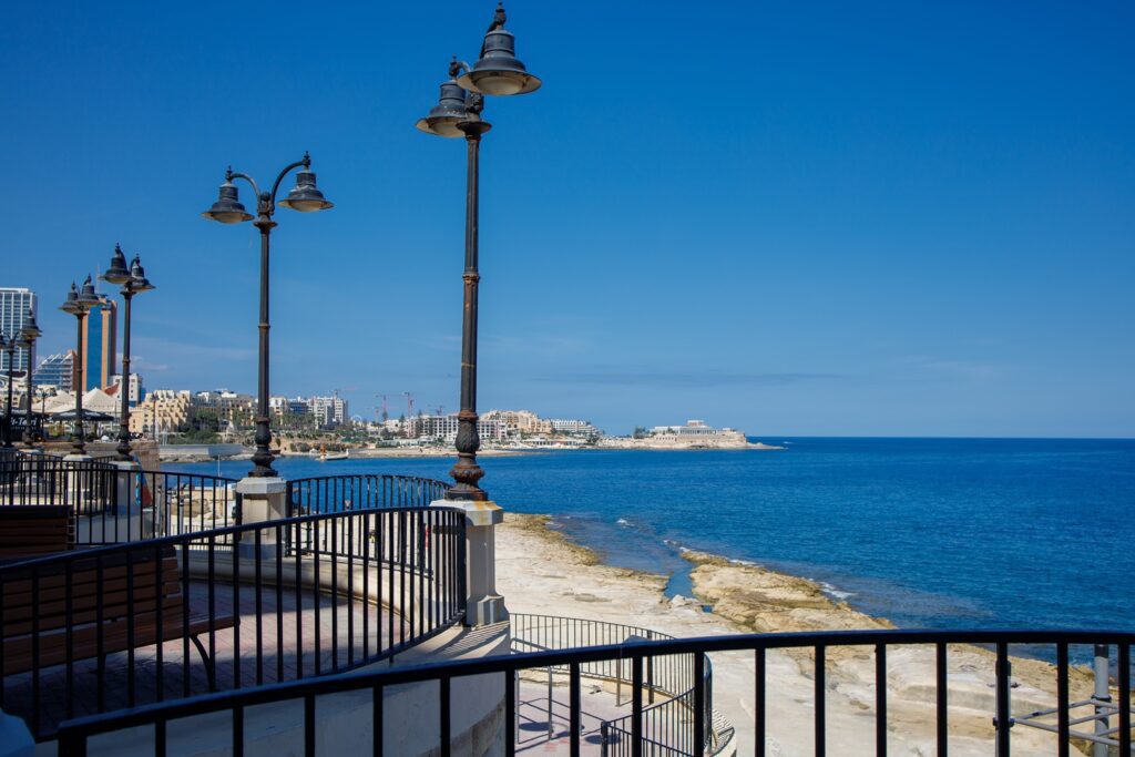
This relaxed shoreline walk is one of those routes where the energy of city life fades slowly rather than abruptly.
It begins along Sliema’s lively promenade, which is where cafés spill onto the pavements and the sea bumps softly against the rocky flats.
Then as you make your way toward St Julian’s, the path keeps close to the water and offers a long ribbon of uninterrupted coastal views.
Sunlight bounces off the limestone, and the water shifts between shades of blue depending on the wind and the hour of day.
What makes this walk special is how effortlessly it flows. You can move at whatever pace you want, pass swimmers drying off on the rocks, watch fishing boats drift by, and you can also enjoy the steady rhythm of waves against stone.
This is an ideal place for those of you who really enjoy the coastal scenery but without needing to leave the conveniences of town behind.
The atmosphere is lively but never rushed, which makes the entire route feel easygoing and cheerful.
| Sliema to St Julian’s Coastal Walk | |
|---|---|
| Difficulty | Easy |
| Average time | 1–1.5 hours |
| Distance | About 5 km (3.1 miles) (estimate) |
| Route type | Linear |
| Start and end | Sliema ferry landing to St Julian’s |
| Elevation gain | Minimal |
| Getting there from Valletta | Valletta ferry to Sliema; bus back from St Julian’s |
| Best time and nearest base | Early morning or sunset; Sliema |
| Trail note | Wide, paved seafront promenade with no shade |
| Don’t miss | A stop at the tidal pools on the Sliema side |
3. Xemxija Heritage Trail: History in the Hills
The Xemxija Heritage Trail is a dream for anyone who loves walking through landscapes that are layered with history.
The moment you step onto the path, you will begin passing relics that have been shaped by centuries of life.
There are Roman roads that are worn smooth by time, ancient apiaries that are carved straight into limestone, and terraced fields that still mirror the agricultural rhythms of long ago.
For those of you who enjoy learning something new while roaming outdoors, this trail offers detail after detail that sparks curiosity.
Beyond the archaeological highlights, the setting has a gentle countryside feel that makes the walking pleasantly unhurried.
The trail winds through quiet patches of farmland and past stone walls warmed by the sun, and then you will be led into small clearings where wildflowers bloom in spring.
This place feels like a walk that is designed for slow appreciation rather than speed. Everything invites you to pause and notice and continue right when you are ready.
| Xemxija Heritage Trail | |
|---|---|
| Difficulty | Easy |
| Average time | About 2 hours |
| Distance | About 4 km (2.5 miles) (estimate) |
| Route type | Loop |
| Start and end | Xemxija, St Paul’s Bay, at the Roman road |
| Elevation gain | About 60 m (200 ft), moderate but steady (estimate) |
| Getting there from Valletta | Bus to Xemxija; plan it on the journey planner |
| Best time and nearest base | Spring, when the wildflowers are out; St Paul’s Bay |
| Trail note | Rocky paths between signposted heritage sites, with little shade |
| Don’t miss | The centuries-old limestone apiary |
4. Marsaskala to St Thomas Bay Coastal Path: Quiet Coast
This coastal walk has a soothing rhythm that makes it perfect for unwinding.
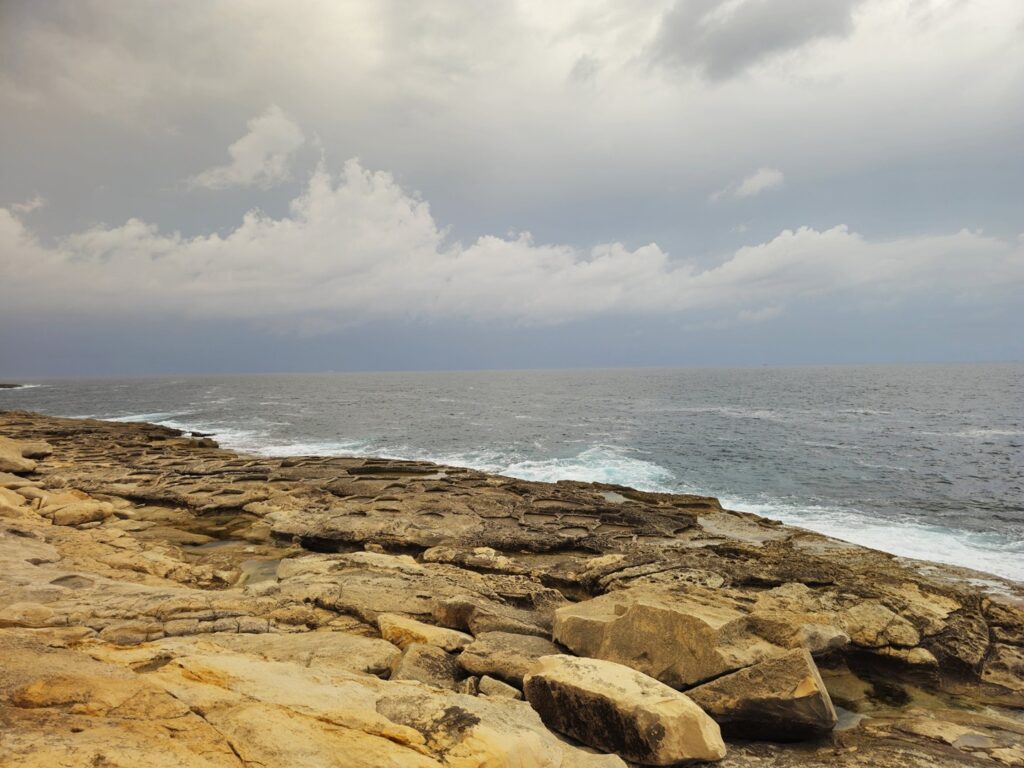
The limestone shoreline stretches out in wide pale slabs, and the sea beside it shifts between calm ripples and lively waves depending on the day.
As you follow the curve of the bay, you will get long open views that feel peaceful without ever becoming empty.
For those of you who enjoy landscapes where the sea does most of the storytelling, this path suits that preference beautifully.
Along the way, the atmosphere stays quiet, which will give the route a refreshing sense of space even in warmer months.
Small coves tuck into the shoreline, seabirds skim the water, and the breeze carries that familiar mix of salt and sunlight.
This walk is simple and steady, and it’s also rewarding in its own subtle way. By the time you reach St Thomas Bay, you will likely feel like you have been gently reset!
| Marsaskala to St Thomas Bay Coastal Path | |
|---|---|
| Difficulty | Easy |
| Average time | 1.5–2 hours |
| Distance | 5–6 km (3.1–3.7 miles) (estimate) |
| Route type | Out-and-back |
| Start and end | Marsaskala seafront to St Thomas Bay |
| Elevation gain | Minimal |
| Getting there from Valletta | Bus to Marsaskala |
| Best time and nearest base | Early morning; Marsaskala |
| Trail note | Flat limestone shelves and seafront paths, with no shade |
| Don’t miss | Early morning, when the limestone glows warm |
5. Marfa Ridge Loop: Wild Northern Ridge
Marfa Ridge offers a wonderfully spacious walk across Malta’s northern tip. The trail rolls along open ground where sea views appear and disappear almost playfully as the path turns.
This is where the island feels raw in the best way, with scrubland, rocky paths, and distant islands forming a wide natural panorama.
For those of you who enjoy hikes that feel a bit removed from everyday bustle, this loop has exactly that appeal.
What makes the route especially enjoyable, however, is how varied it feels without ever becoming strenuous.
One moment you are looking toward Comino’s cliffs, and then the next you are surrounded by quiet countryside with nothing but the wind and birds for company.
The ridge itself has a calming steadiness to it, like the kind that encourages a bit of a slower pace and deep breaths.
By the time you complete the loop, you will understand why so many walkers return to this area whenever they want an easy escape.
Pair with: Xemxija Heritage Trail, on the same road north, for a full day out.
| Marfa Ridge Loop | |
|---|---|
| Difficulty | Moderate |
| Average time | 2–3 hours |
| Distance | 7–8 km (4.3–5 miles) (estimate) |
| Route type | Loop |
| Start and end | Għadira, at the foot of the ridge near the Red Tower |
| Elevation gain | Moderate (figure not published) |
| Getting there from Valletta | Bus to Għadira (Mellieħa Bay) |
| Best time and nearest base | October to May; Mellieħa |
| Trail note | Rocky farm tracks and open scrub with no shade |
| Don’t miss | The lookout spots facing Comino’s cliffs |
When to Hike Near Valletta
October to May. Spring and autumn give you the most comfortable walking temperatures, and spring brings the wildflowers out at Xemxija and on Marfa Ridge.
Apart from Buskett, these walks have little or no shade, so in summer go at first light or for sunset, and save Buskett for the hottest afternoons.
Carry more water than you think you’ll need, even on the short seafront strolls.
Winter is quieter and often clear, but paths can turn muddy after heavy rain. If you’re relying on the Sliema ferry, check it’s running first, because services can pause in rough seas.
From September to January, Marfa Ridge is also used by hunters, so on autumn weekend mornings stick to well-used paths.
What to Bring
- Comfortable walking shoes with grip for limestone and loose stones
- At least a litre of water per person, more on Marfa Ridge
- A hat, sunglasses and sunscreen
- Swimwear and a quick-dry towel for Sliema or St Thomas Bay
- A snack for the longer walks (here’s what to eat before hiking so you start fuelled)
- Choosing gear? See all of our buyer’s guides
🗒️ Free Checklist: “Pack light, pack right — download The Ultimate Hiking Packing List.”
FAQs About Hikes Near Valletta
What is the easiest hike near Valletta?
The Buskett Woodland Circuit, a 1.4 km loop that takes about 40 minutes under the trees. The Sliema seafront is just as flat, only longer and without the shade.
Which hike near Valletta can you reach by ferry?
Sliema to St Julian’s. The Valletta ferry drops you at the start in a few minutes, and buses run back from St Julian’s. The other four walks start from a bus stop.
Where can you swim on a hike near Valletta?
On the rocks and tidal pools along the Sliema seafront, at St Thomas Bay on the Marsaskala walk, and at Għadira (Mellieħa Bay) at the foot of Marfa Ridge.
Are the hikes near Valletta shaded?
Only Buskett. The coastal walks, Xemxija and Marfa Ridge are open to the sun, so carry water and avoid the middle of the day from June to September.
Can you do two hikes near Valletta in one day?
Yes. Xemxija and Marfa Ridge sit on the same road north, so you can walk one in the morning and the other in the afternoon.
Out of the City, Into the Landscape
Valletta may be known for its grand architecture and storied past, but the landscapes around it offer a completely different way to experience Malta. Pick a walk, hop on a bus or ferry, and you’ll be back in the city in time for dinner.
Planning Your Malta Walking Trip?
Whether you’re here for one clifftop walk or a whole week on Malta and Gozo, the best trips start with a bit of local know-how. Pick your season, pack for the sun, and you’ll be ready to lace up!
Where to Next?
Ready for more? Here’s where to go from here.
More in Malta
- Hiking in Valletta: A City Guide for Walkers: walking the capital, its viewpoints and where to stay.
- Best Hikes in Malta: seven bigger days out, from Dingli Cliffs to Gozo’s Dwejra.
- Walking Holiday in Malta: a six-day Malta and Gozo itinerary.
More Best Hikes Nearby
- Best Hikes Near Rome: easy escapes from Italy’s capital by train and bus.
- Best Hikes Near Palermo: Sicilian coast and mountain walks from the city.
Where This Information Comes From
Last checked: 13 October 2026.
- Ambjent Malta: Buskett Medium Walking Path
- Malta Public Transport: buses and journey planner
- Malta Public Transport: Valletta ferry