

Though the Netherlands is known for its flat landscapes and picturesque windmills, it’s also home to some truly beautiful and diverse hiking trails that are a bit overlooked when it comes to Europe as a whole.
From scenic coastal paths and dense forests to unique sand dunes and historical routes, there’s plenty for you to explore here when you’re on foot.
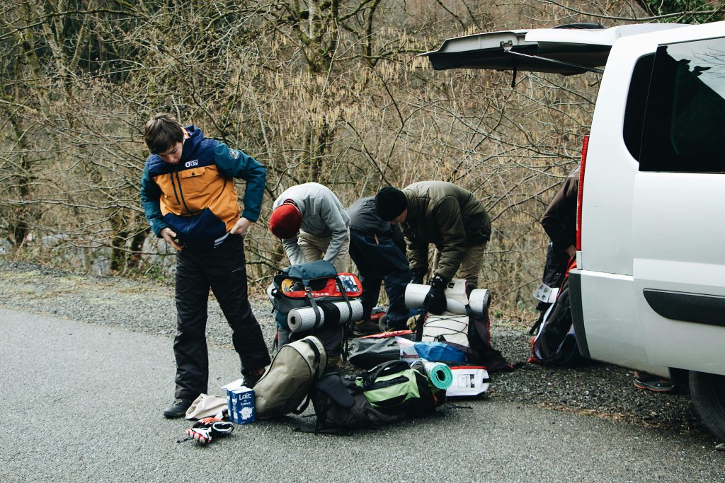
A Note On Appropriate Gear and Clothing
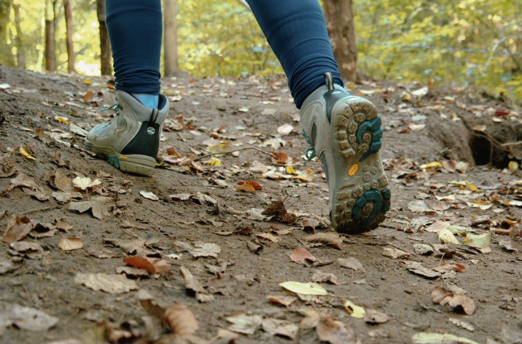
Before heading out on any hike in the Netherlands, it’s important for you to be prepared with the right gear and clothing. While the country may not have steep mountains or extreme terrains, the weather can still be a bit unpredictable at times. Here’s what you’ll want to bring:
- Footwear
- You’ll want to start with a good pair of sturdy, comfortable hiking shoes or boots. While many trails in the Netherlands are relatively flat, some (especially those through forests or dunes) can be uneven or muddy. Waterproof footwear is a smart choice, especially if you’re hiking in coastal areas or during the wetter months.
- Clothing
- A moisture-wicking base layer will work wonders to help keep you dry, and a lightweight fleece or insulating mid-layer will keep you warm on cooler days. Always bring a waterproof and windproof jacket, as rain and strong winds can roll in unexpectedly, especially in open areas like dunes or along the coast.
- Backpack
- Carry a small daypack to store your essentials, including water, snacks, a map, and any extra layers of clothing. Many of the trails are well-marked, but it’s always a good idea to bring a physical map or have a navigation app handy just in case you venture off course.
- Other Essentials
- Last but not least, be sure to pack a reusable water bottle to stay hydrated and energy-boosting snacks to keep your stamina up, especially on longer hikes. Sunscreen and a hat are must-haves for sunny days, as there’s often little shade in open areas like the Dutch dunes.
That’s all you should need! With the right gear and clothing, you’ll be well-prepared to enjoy the variety of hikes the Netherlands has to offer, rain or shine.
Boswachterspad Dunes and Landgoederen Route, Zuid-Kennemerland National Park
The Boswachterspad Dunes and Landgoederen Route is a beautiful hike that takes you through the diverse landscapes of Zuid-Kennemerland National Park, located near the North Sea coast. This trail offers a unique mix of coastal dunes, lush forests, and historical estates, This is a varied and scenic hike that should appeal to nature lovers and history buffs alike.
Difficulty/Recommended Fitness Level
This hike is moderate and suitable for hikers of all fitness levels. The sandy dunes and slightly uneven terrain add a bit of challenge, but it should be manageable for most hikers.
Distance
The route is around 8 miles/13 km. It will be a great day out for those of you who are looking to explore the park’s beauty.
Elevation Gain
While the Netherlands is generally flat, this trail does have some gentle hills. It has elevation gain of approximately 150 meters/492 feet as you navigate the dunes.
Start and End Point
The hike starts and ends at the Pannenland Entrance of Zuid-Kennemerland National Park, where you can find parking and visitor information.
Unique/Interesting Points/Cultural or Historical Points of Note
As you walk through the park, you’ll pass by some of the beautiful historical estates and manors that once belonged to wealthy Dutch families. The trail also leads through areas of protected dunes, which are home to a wide variety of plant and animal species, including Highland cattle and fallow deer. You’ll enjoy stunning views of the North Sea from the higher dunes.
Texel Dunes Trail, Texel Island
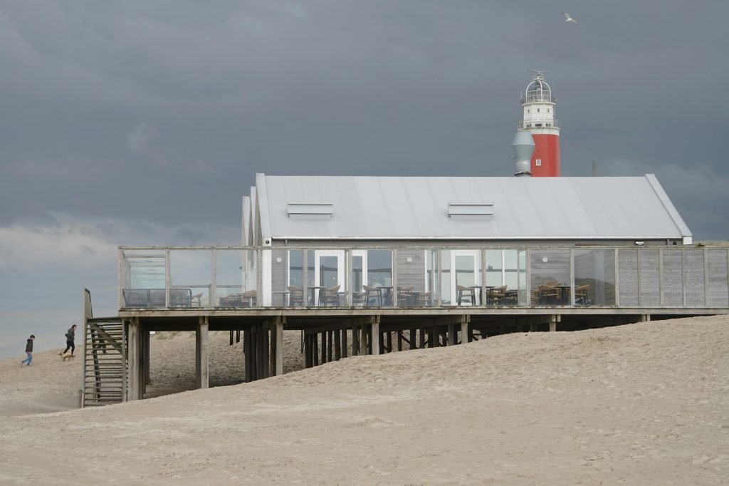
The Texel Dunes Trail on Texel Island, which is the largest of the Dutch Wadden Islands, offers a serene and scenic coastal hike. This trail is perfect for those of you who are looking to explore a mix of beaches, dunes, and wildlife, and all while enjoying the island’s laid-back atmosphere. This is also a popular destination for birdwatchers.
Difficulty/Recommended Fitness Level
This hike is easy to moderate and is ideal for most fitness levels. The soft sand in the dunes can add a little challenge, but it’s a mostly relaxed walk.
Distance
The trail is about 9 miles/15 km, which makes it a great full-day hike.
Elevation Gain
While the hike is mostly flat, the rolling dunes create a modest elevation gain of about 100 meters/328 feet.
Start and End Point
The hike starts and ends at the Ecomare Nature Museum, where you can also learn more about the island’s wildlife and natural history before setting out.
Unique/Interesting Points/Cultural or Historical Points of Note
The Texel Dunes Trail takes you through the Texel Dunes National Park. Along the way, you’ll walk through pine forests, spot grazing sheep, and pass peaceful beaches. Birdwatchers will love the chance to see a variety of migratory birds, and if you’re lucky, you might even spot seals basking on the beach.
Drunense Duinen Route, Loonse en Drunense Duinen National Park
The Drunense Duinen Route takes you through one of the most unique landscapes in the Netherlands—the vast sand dunes of Loonse en Drunense Duinen National Park. Known as the “Sahara of the Netherlands,” this hike offers a surreal experience as you walk through shifting sands and peaceful woodlands. It’s a beautiful and unusual hike, perfect for those looking to explore something different.
Difficulty/Recommended Fitness Level
This hike is moderate due to the loose sand, which can be more tiring to walk through than solid ground. However, it’s suitable for most hikers with a reasonable level of fitness.
Distance
The route covers approximately 6 miles/10 km, so it should be good for a fun half-day adventure.
Elevation Gain
There’s minimal elevation gain at around 50 meters/164 feet. The dunes create small rises and dips throughout the hike.
Start and End Point
The hike begins and ends at the Loonse en Drunense Duinen parking area, where you can find information about the park and its trails.
Unique/Interesting Points/Cultural or Historical Points of Note
The highlight of this hike is undoubtedly the unique shifting sand dunes, which make you feel like you’re walking through a desert right in the middle of the Netherlands. The surrounding forest and heathland also provide a striking contrast to the dunes.
Dutch Mountain Trail, South Limburg
The Dutch Mountain Trail in South Limburg is a rare treat for hikers in the otherwise flat Netherlands. This trail takes you through the hilly terrain of South Limburg, which offers some of the highest points in the country, including the famous Vaalserberg. This is where the borders of the Netherlands, Belgium, and Germany meet.
Difficulty/Recommended Fitness Level
This hike is moderately difficult due to its hilly terrain and longer distance. It’s best suited for experienced hikers or those in good physical condition.
Distance
The Dutch Mountain Trail is around 11 miles/18 km). This is a full-day hike with plenty of challenges along the way.
Elevation Gain
You’ll experience an elevation gain of about 320 meters/1,050 feet as you navigate the rolling hills and steeper sections of the trail.
Start and End Point
The hike starts at the town of Epen and ends at the summit of Vaalserberg, which is the highest point in the Netherlands at 322 meters/1,056 feet.
Unique/Interesting Points/Cultural or Historical Points of Note
This hike offers spectacular views of South Limburg’s rolling hills, vineyards, and charming villages. The highlight of the trail is reaching the summit of Vaalserberg, where you’ll find the Drielandenpunt (Three Country Point). This marks the spot where the borders of the Netherlands, Belgium, and Germany meet.
Utrechtse Heuvelrug Trail, Utrechtse Heuvelrug National Park
The Utrechtse Heuvelrug Trail offers a beautiful escape into one of the Netherlands’ rare hilly regions. Located in Utrechtse Heuvelrug National Park, this hike takes you through dense forests, open heathlands, and gentle hills. The area is known for its rich history, diverse wildlife, and scenic viewpoints.
Difficulty/Recommended Fitness Level
This hike is easy to moderate and suitable for most fitness levels. While there are a few gentle climbs, the trail is well-marked and not too strenuous.
Distance
The trail is approximately 7 miles/11 km long. It’s the perfect length for a half day hike.
Elevation Gain
The trail has an elevation gain of around 150 meters/492 feet. It has gentle inclines that will take you through forested areas and heathland.
Start and End Point
The hike starts at the National Park Visitor Center in Doorn and loops through the park before returning to the same point.
Unique/Interesting Points/Cultural or Historical Points of Note
As you walk along the Utrechtse Heuvelrug Trail, you’ll pass ancient burial mounds that date back to prehistoric times. You’ll also get to see the Pyramid of Austerlitz, which is a Napoleonic-era monument. The combination of rich natural beauty and historical landmarks makes this hike a unique experience.
The Waterline Path (Waterliniepad)
The Waterline Path, or Waterliniepad, is a fascinating hike that follows the historic New Dutch Waterline, which are a series of fortifications and waterways once used to defend the country. This unique trail takes you through lush countryside, past historic forts, and along canals. It’s a great hike if you’d like to learn a bit about Dutch history.
Difficulty/Recommended Fitness Level
This hike is suitable for most fitness levels. The trail is mostly flat and follows well-marked paths, so it’s very accessible and easy to follow.
Distance
The Waterline Path is approximately 53 miles/85 km in total, but you can tackle shorter sections for a day hike.
Elevation Gain
There is very little elevation gain. This will be a very relaxed and scenic walk through Dutch countryside and historic sites.
Start and End Point
A common starting point is in the town of Weesp, and this section can be completed by hiking to the historic Fort Uitermeer, which is a notable landmark along the Waterline.
Unique/Interesting Points/Cultural or Historical Points of Note
This hike is a must for hikers who are also history enthusiasts. You’ll pass through key parts of the New Dutch Waterline, a defensive system designed to flood low-lying areas and protect the country from invaders. Along the way, you’ll see several historic forts, canals, and locks that played crucial roles in the country’s defense. Many of these forts are well-preserved and offer opportunities for exploration.
Conclusion
The Netherlands may be known for its flat landscape, but it offers a surprisingly diverse range of hiking experiences. Whether you’re looking to explore the rolling hills of South Limburg, enjoy the peaceful coastal paths of Texel, or wander through the fascinating historical sites along the Waterline Path, there are plenty of opportunities here for you to immerse yourself in nature and culture.


